

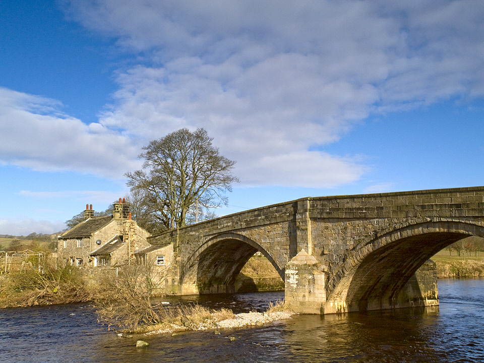
The source of the River Wharfe is in the Yorkshire Dales National Park, where it rises off Carboniferous limestone at Beckermonds, at the confluence of Green Field Beck and Oughtershaw Beck in Langstrothdale. The river flows swiftly past Kettlewell, Grassington, Bolton Abbey, Addingham, Ilkley, Burley-in-Wharfedale, Otley, Wetherby and Tadcaster through pasture land, but the last 16km (10 miles) below Tadcaster are tidal with a gentler flow. Here the river is more typical of a lowland river where flood embankments protect adjacent land. After 130km (81 miles), the Wharfe joins the Ouse near Rhythor.
For much of its length it is the county boundary between West Yorkshire and North Yorkshire. The name Wharfe may derive from the Old English ‘weorf’ or Old Norse ‘hverfr’ meaning “winding river”. Or it could come from the Saxon ‘guerf’ meaning ‘swift’.