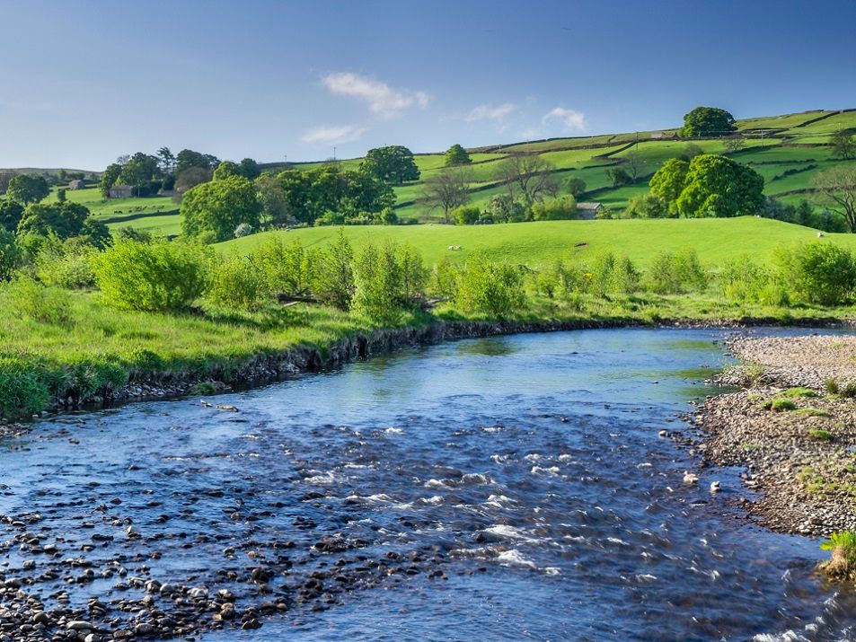
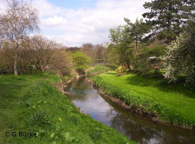
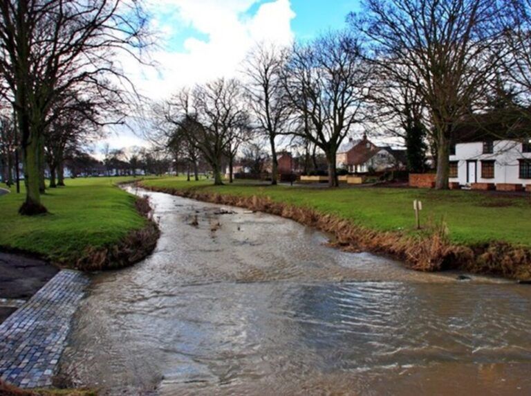
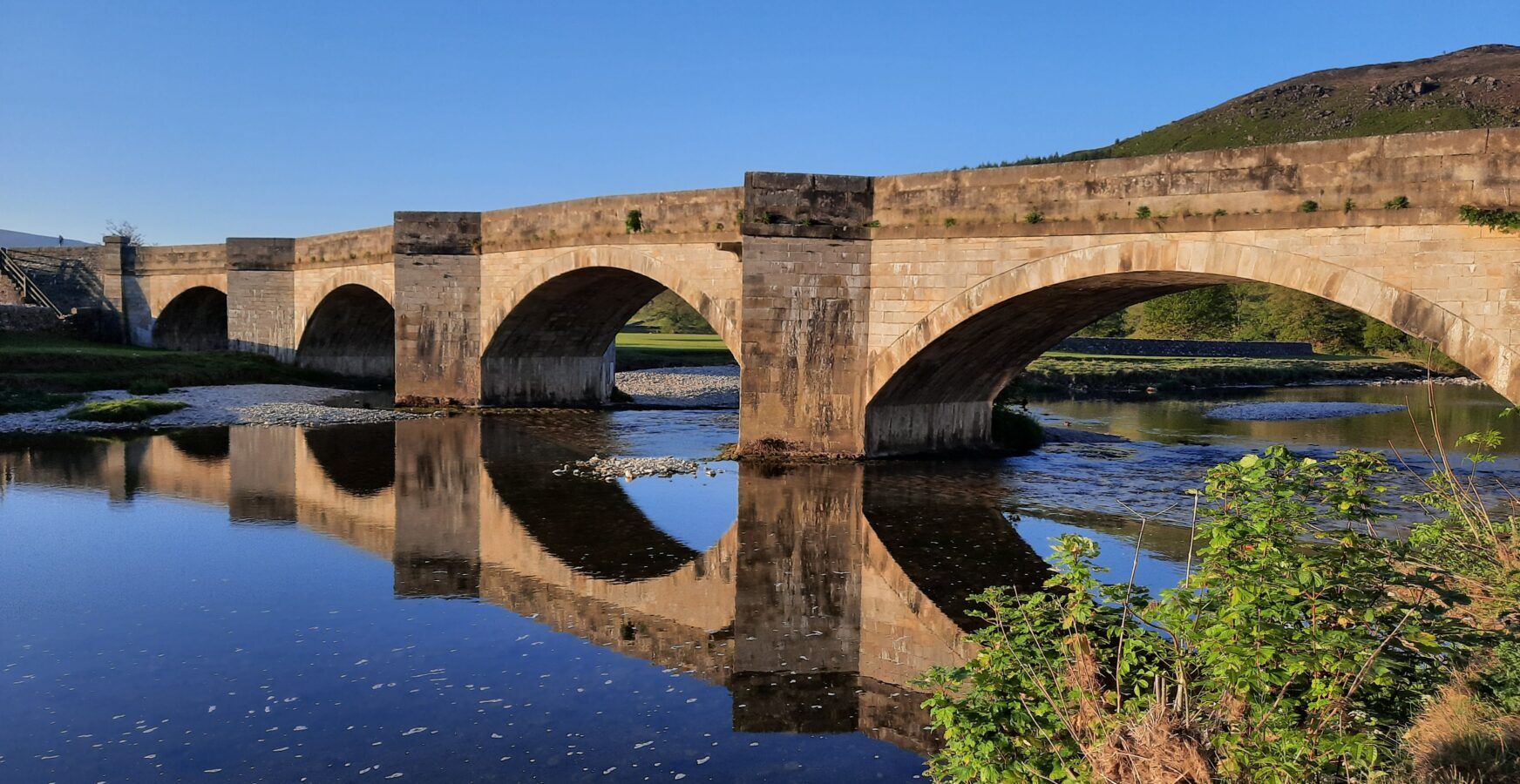
Our Catchments
Swale | Ure | Nidd | Ouse | Wharfe | Wiske | Foss
DVRN Catchments
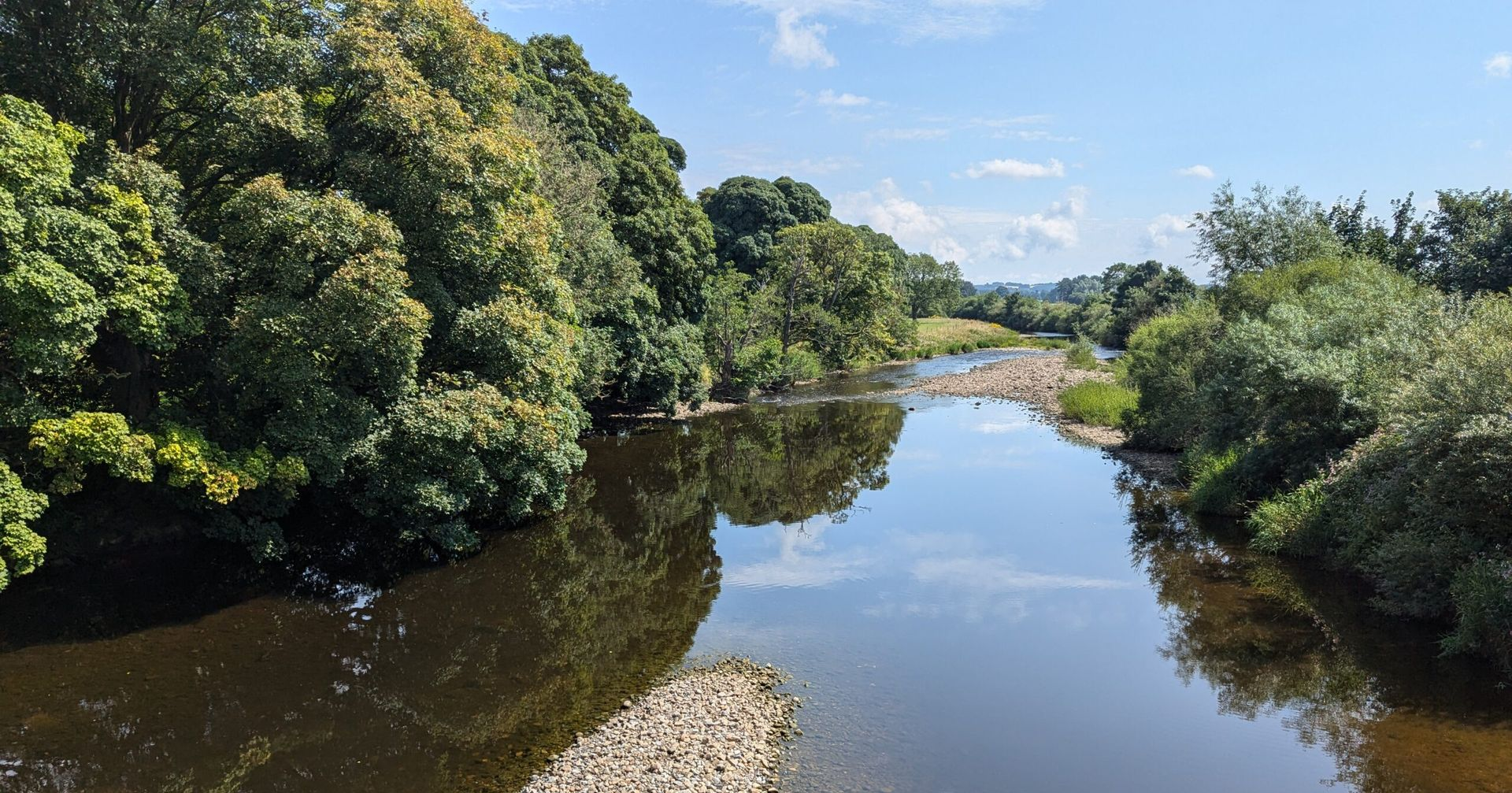
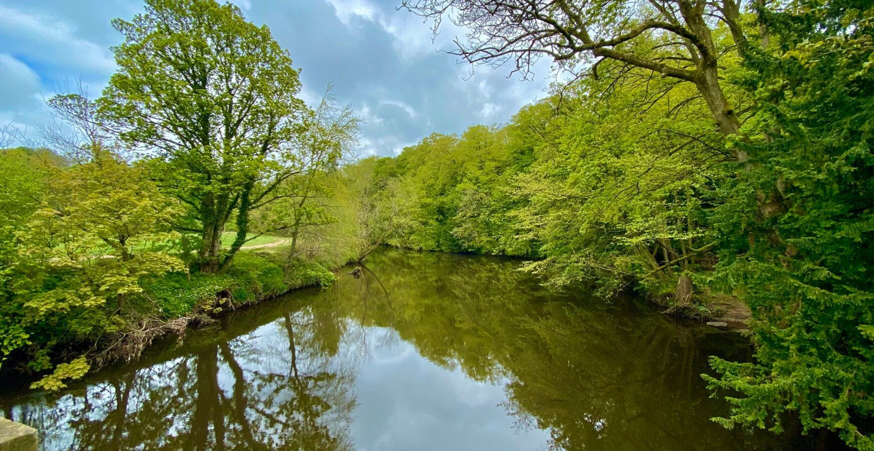
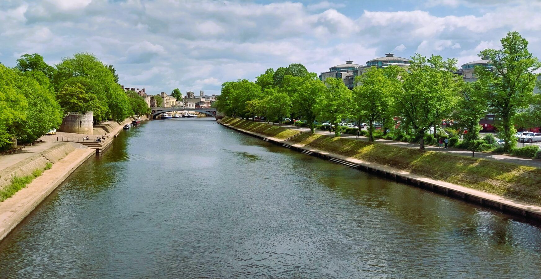
Rivers and their catchments provide a wide range of services including water supply, recreation, agriculture, fisheries and flood defence, making river management a balancing act between the needs of all users and owners and organisations with responsibilities relating to the environment.
Using science and available data we have assessed the current condition of each catchment and through local consultation meetings have identified and prioritised a Catchment Management Plan to enable all the rivers of the DVRN to move from surviving to thriving.
The Rivers Trust have also produced an interactive report entitled
State of Our Rivers, providing information about the condition of all rivers and catchments in England.
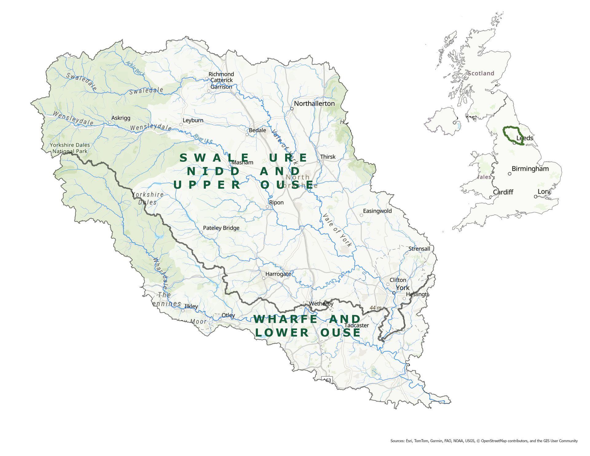
Catchment Story Maps
Information on each of our catchments is shown in these interactive story maps:
Data
To see the full data set for our catchments, visit the online CaBA Data Package– a web based application for exploring the online data package which allows you to browse the categories, overlay different layers and print out maps.
Catchment Management Plan
The Catchment Management Plan will be used to guide and develop future work and projects within the catchment partnerships.
It has been developed through a review of the previous Catchment Management Plan and through public consultation with stakeholders and interested parties in each catchment to ensure that issues identified and priorities for action are current and relevant.
The plan can be downloaded below. A plain version is available here.
River Catchment Scale Actions
Click on the links below to download the issues and priorities for each of our catchments