Discover the Rivers4Life Exhibition
Read our latest update here!
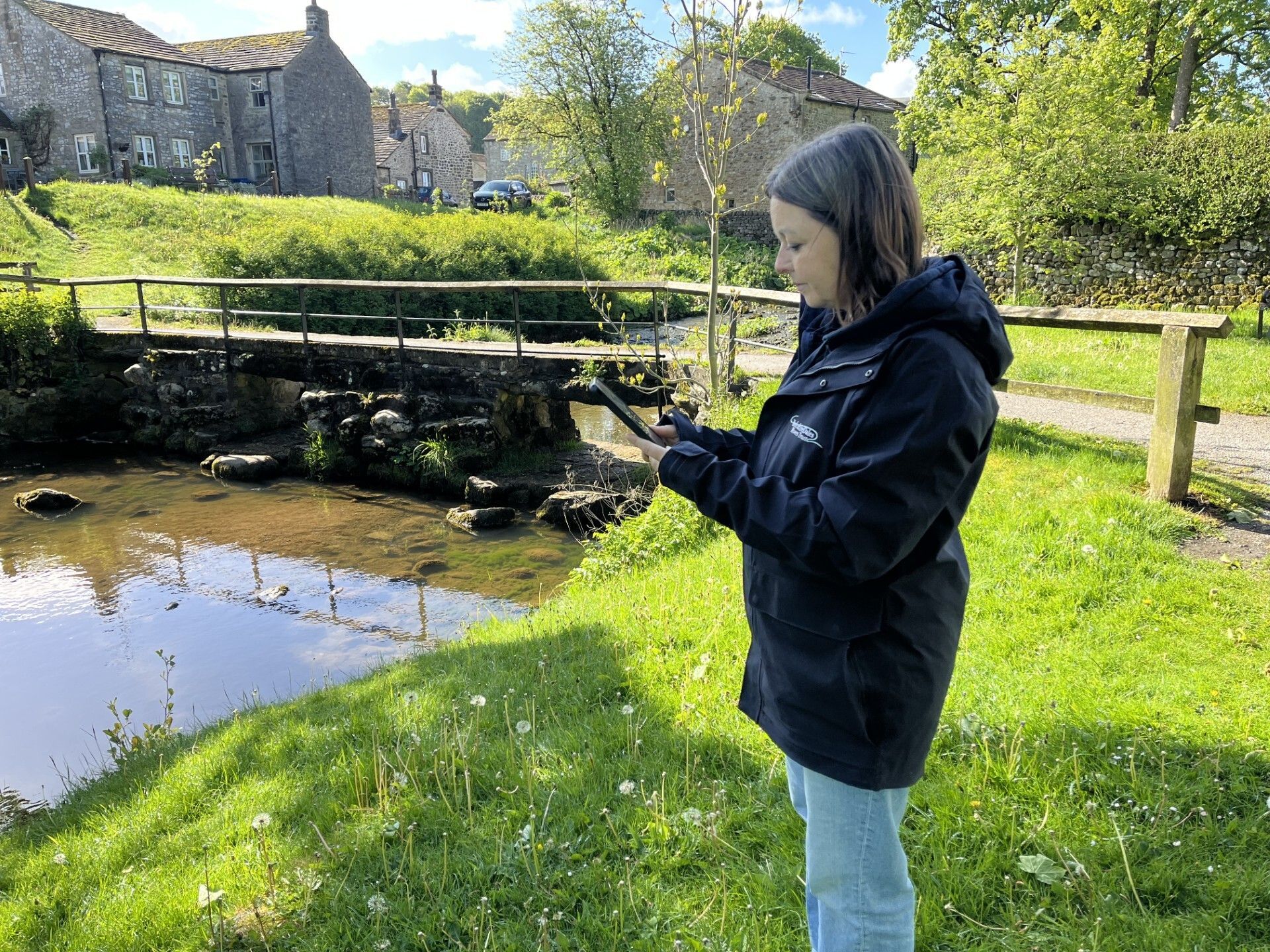
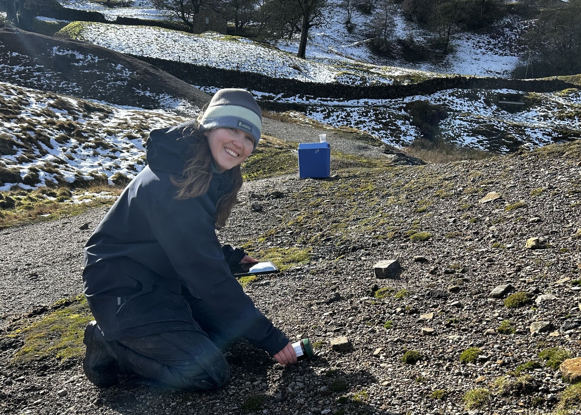
Restoring rivers by improving fish passage is a vital part of enhancing our river environment. One of the newest members of the YDRT team, Kate Colledge, is leading this important work. Kate joined as a Project Manager, with funding support from Great Yorkshire Rivers , which is a collaboration of Yorkshire Water, the Environment Agency, the Rivers Trust and other partners. As both a Chartered Civil Engineer and Chartered Environmentalist, she brings a wealth of expertise to the role which focuses on identifying and prioritising barriers within our rivers which prevent fish from moving freely through our rivers and streams.

Read our latest update here!
Discover how we use one technology in myriad ways to support some very different river and catchment improvement, restoration and remediation projects
Read our latest update here!
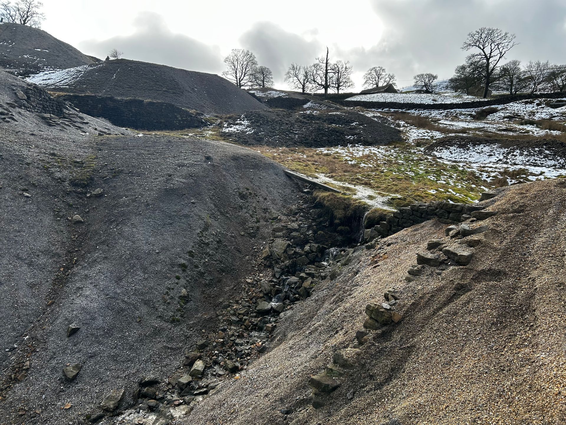
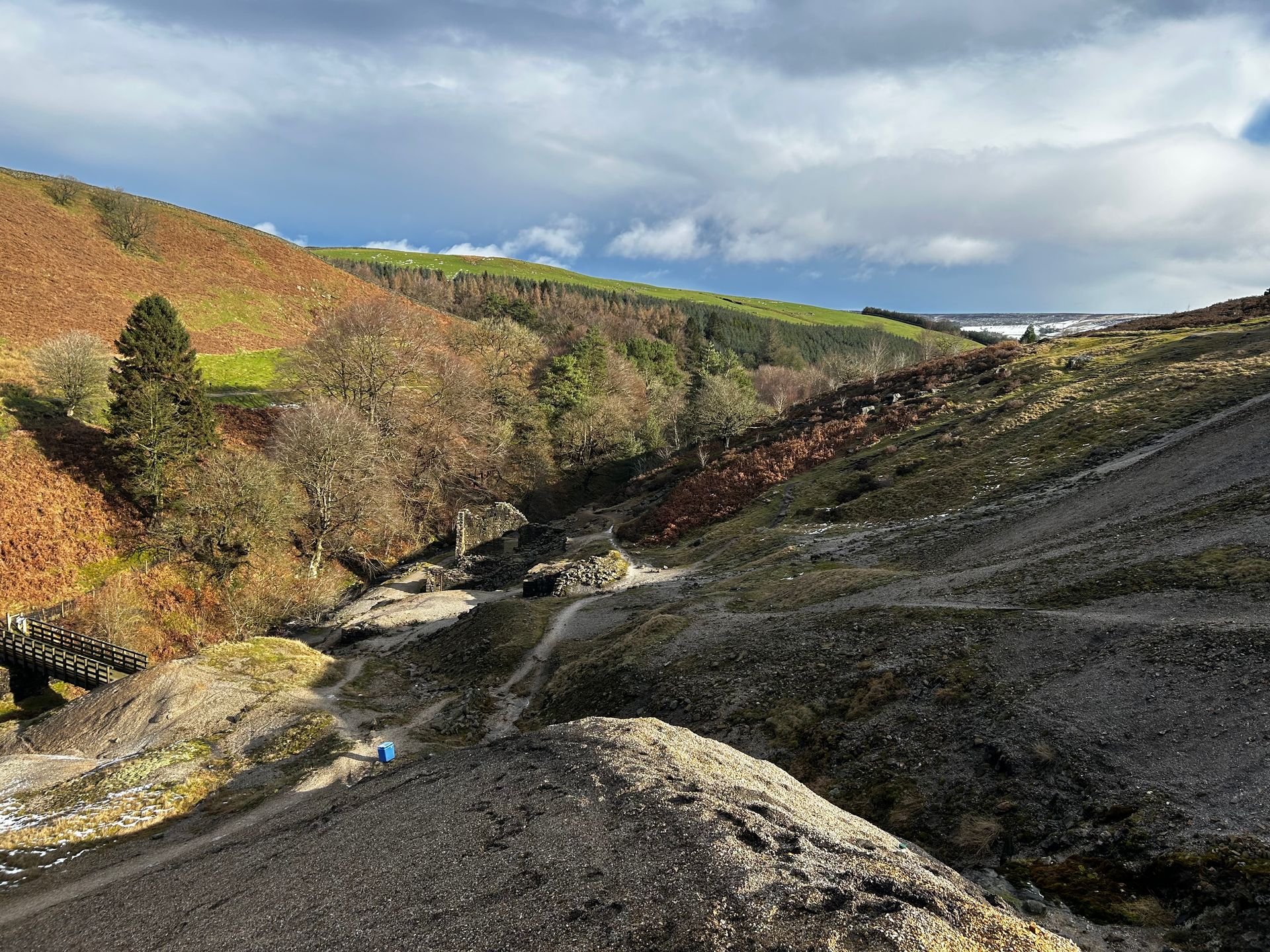
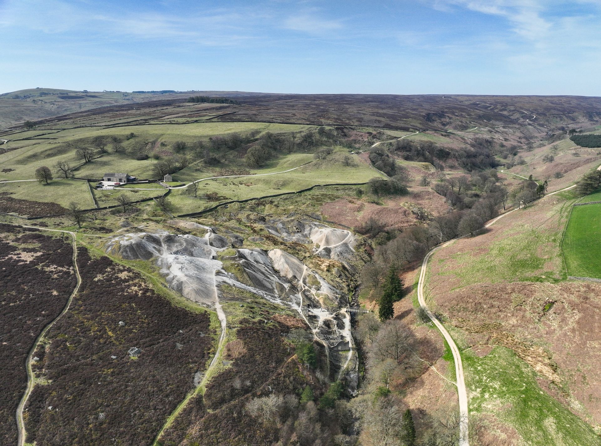
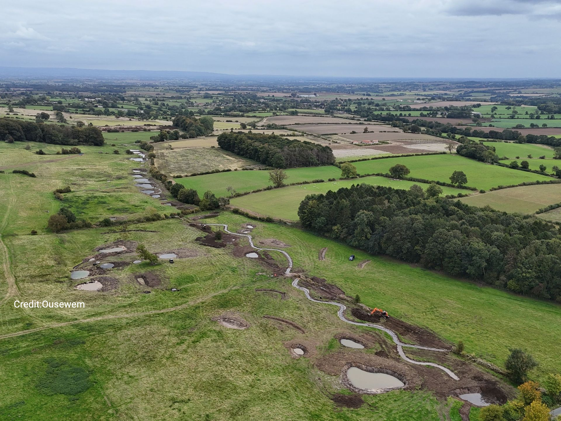
Mapping technology has enabled us to identify and prioritise catchments across the region that would benefit most from nature-based solutions (NbS) to help restore river health and mitigate flooding. Using software developed by national river restoration charity, The Rivers Trust, and applying it to 161 waterbodies in the catchments of the rivers Swale, Ure, Nidd, Ouse and Wharfe, we have been able to select 16 water bodies for their ability to deliver multiple benefits for rivers and nature. YDRT project officer Lucy Hyde said: “The mapping software has allowed us to review rivers and catchments against some key criteria including nutrient runoff from farming activities and silt erosion – both of which contribute extensively to rural waterbody pollution. We also looked for opportunities to increase riparian shading, which helps to keep rivers cool during increasingly warm summers and provides valuable habitats that benefit fish populations. “Interventions such as riparian tree planting or wetland creation not only intercepts nutrient and silt runoff through complex root structures, stabilising banks from further erosion, but also creates new habitats or connects existing habitats helping create ‘wildlife corridors’ for invertebrates, small mammals and birds.” Following the completion of the mapping phase, we are now looking to work in partnership with existing organisations, landowners, farmers, and other local stakeholders to deliver on the ground solutions. If you are interested in finding out more about this email: lucy.hyde@ydrt.co.uk The priority waterbodies are: Cotterdale Beck from Source to River Ure; Riccall Dam Catchment (trib of Ouse); Hebden Beck Catchment (trib of Wharfe); Oak Beck Catchment (trib of Nidd); Snaizeholme Beck from Source to Widdale Beck; Widdale Beck from Source to Snaizeholme Beck; Hambleton Beck/Ings Beck Catch (trib of Wharfe); Barden Beck Catchment (trib of Wharfe); Sand Beck from Source to River Swale; Park Gill Beck from Source to River Wharfe; Skeeby/Holme/Dalton Beck from Source to River Swale Brough Beck/Scotton Beck from Source to River Swale; River Skirfare from Source to Heselden Beck; River Ure from Source to Widdale Beck; Willow Beck Catchment (trib of Wiske); River Wiske from Source to the Stell You can view the entire map below:

Read our latest update here!

Our major survey of Harrogate’s Oak and Bilton becks has uncovered that several misconnections in the drainage network are adding highly polluting discharges to the waters of both waterways. Read the full report to find out more about this important Outfall Safari survey – and watch the short info-reel to learn more about outfalls and how you can look after your local one. For those wanting to learn about the results and ask any questions in person, please come along to our public event on Wednesday 26 November, 6-8pm at St Peters Church, Harrogate. Book your place by clicking on the button below:
Read our latest update here!